Southern Colorado trades wet Sunday for dry, warming week
Light rain lingers into late Sunday before sunshine returns, bringing highs into the 60s and 70s by midweek.
By Karan Grant ·
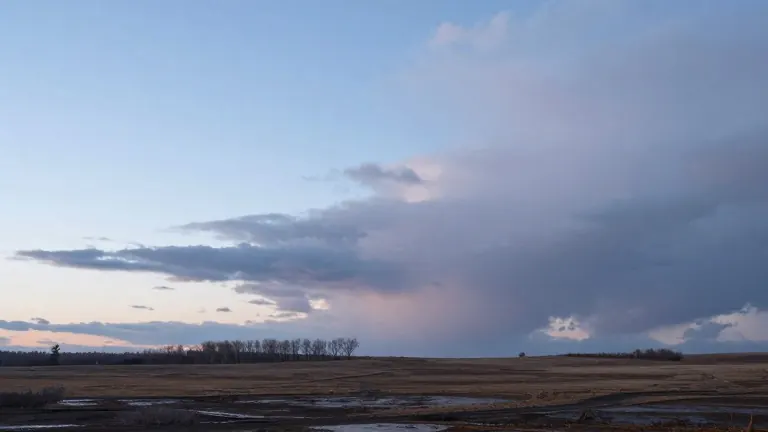
Rain and thunderstorms will persist across southern Colorado until late Sunday night, marking the end of a wet spell. Forecasters project that total additional rainfall will remain under one inch in the region. The moisture is set to exit toward the east and northeast around midnight, clearing the way for cooler overnight lows in the upper 30s and 40s.
Temperatures will rebound sharply as the week begins. Early in the week, highs will reach the low 60s under sunny skies. By midweek, warmth will increase further, with some areas reading in the 70s.
Specific forecasts show varying degrees of warming. Colorado Springs is expected to hit a low of 38 and a high of 61. Pueblo will see a low of 45 and a high of 64. Canon City will bottom out at 42 before rising to 62. Woodland Park faces the coldest start with a low of 33 and a high of 51, though highs there may run above average.
The extended outlook indicates that the dry pattern will hold. Cloud cover will decrease, allowing abundant sunshine to drive midweek temperatures above average. Little change is anticipated through the remainder of the week.
Conditions look favorable for Halloween, featuring mild temperatures and dry air. The next opportunity for a shift in the weather pattern does not appear until the second half of the coming weekend.
Source: KOAA News5